
Oakton Postal Area Coverage
Two postal areas are verified for Oakton in the research. ZIP 22124 is the clearest Oakton postal match, including Oakton proper and areas around Waples Mill, Chain Bridge, and Hunter Mill. ZIP 22033 is a Fairfax postal area that touches eastern and southern Oakton edges and nearby Fairfax neighborhoods. Oakton is an unincorporated Fairfax County community, not a postal or municipal boundary, so both labels need an address-level check.
| ZIP | Areas covered | Post office | Notes |
|---|---|---|---|
| 22124 | Oakton proper and communities around Waples Mill, Chain Bridge, and Hunter Mill. | Oakton Branch, 10449 White Granite Drive, Oakton, VA 22124. | Strongest Oakton postal match, but not identical to the Census-designated place boundary. |
| 22033 | Fairfax postal territory touching eastern and southern Oakton edges and nearby Fairfax neighborhoods. | Fairfax-area routing; the exact branch depends on the address. | No official street-level Oakton boundary was located. Verify each address with USPS and MAR. |
Nearby Vienna ZIPs 22180, 22181, and 22182 are adjacent areas, not verified Oakton-serving areas without address-specific evidence. No distinct Oakton unique or PO-box-only ZIP was verified in the inspected sources.
Oakton ZIP Map Selections
The county’s interactive map provides a geography-first way to inspect a postal area. Select one or more ZIPs, then use Save Selection or Save All to export the chosen geography. Its aggregate figures come from the 2025 Integrated Parcel and Lot System and update annually. Those numbers describe the selected postal or parcel geography, not the complete population of the Oakton Census-designated place.
The Fairfax interactive ZIP map is the source for the map controls shown here.
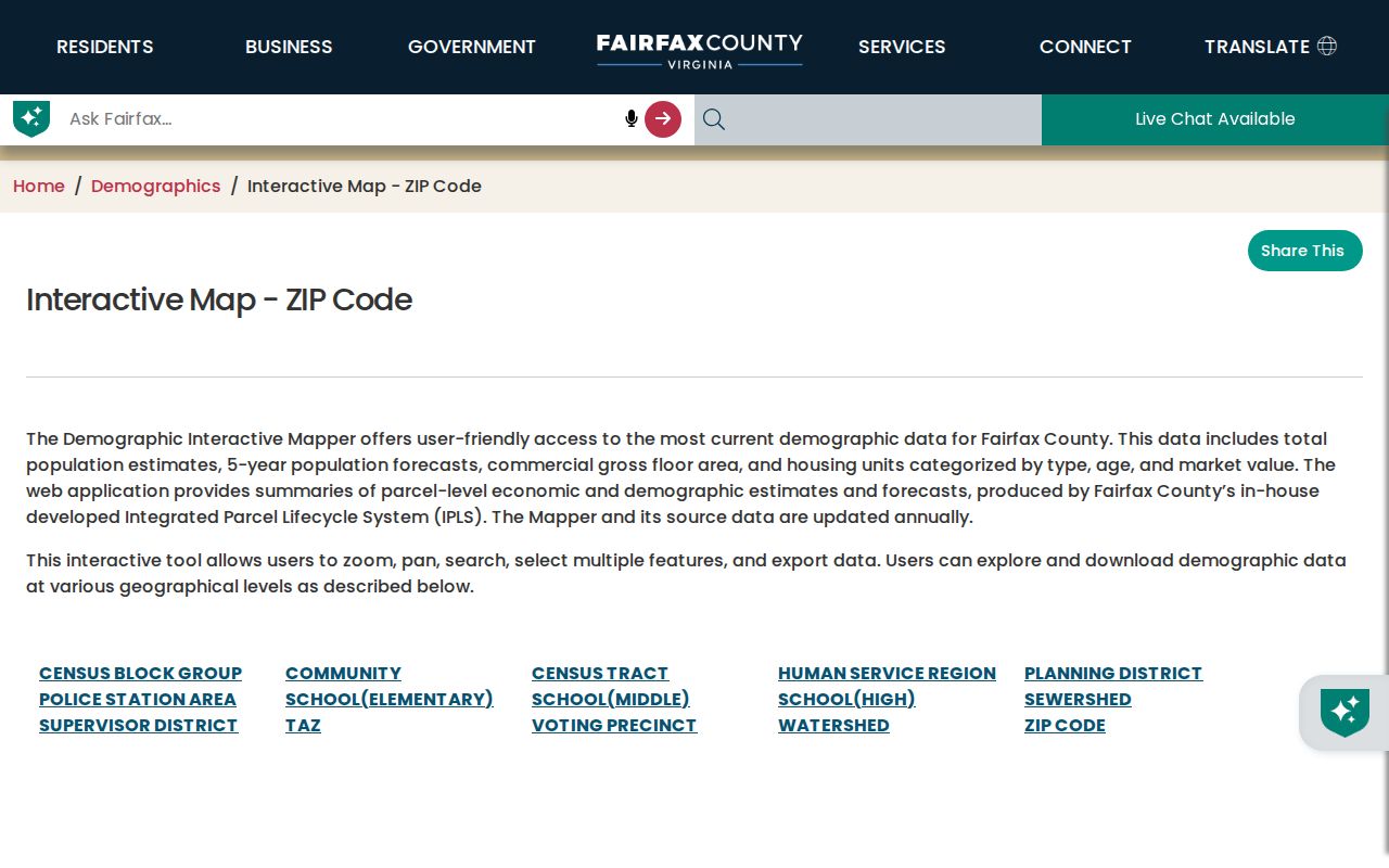
Save the selection date with any map result. A postal area can overlap community names, and its aggregate data cannot establish who receives mail at a particular address.
Oakton Addresses in MAR
Fairfax Bonds and Addressing Center maintains the Master Address Repository, or MAR. In Address mode, MAR filters by ZIP along with address number, street name and type, city, parcel ID, subdivision, and created or expired ranges. Its Current, Historical, and All settings help distinguish an active form from a prior county address record. Returned rows include the PIN, street, city, postal field, subdivision, district, status, and dates, and can be exported as a CSV.
The Fairfax MAR guide documents its address, parcel, and street search modes.
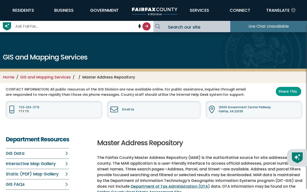
MAR is the county address authority, not an assessment card or a statement of residence. Use it to normalize an address before moving to a property, map, or postal source.
Search One Oakton Postal Area
A ZIP filter is most useful when it begins with an exact address or a clear research question. Start with MAR because its ZIP filter returns county address rows. Use the map to view the selected geography, then use other systems only for their narrow record types. The workflow should preserve a source and date for every result instead of converting a broad postal selection into a list of people.
- Confirm the exact delivery address with the USPS address-to-ZIP lookup. Keep the returned postal city and ZIP as postal fields.
- Run the ZIP in MAR Address mode and choose Current, Historical, or All based on the question. Export the returned rows only when the county result needs to be retained.
- Select the same ZIP on the Fairfax map to inspect the county’s mapped geography and, if needed, save the selection with its date.
- Use the specific address and PIN from MAR for iCare or Jade. For permits, use PLUS with the ZIP alongside street, city, state, or parcel fields.
- When a postal area has narrowed the question to a road, use the Oakton Street Directory record for the address-to-parcel and deed workflow.
USPS validates delivery routing for an exact address. It does not determine a Census-designated place boundary, voting precinct, or the full set of county records connected with the property.
Oakton Records with ZIP Filters
Not every county record tool accepts the same postal input. MAR is the practical path for a ZIP-wide address inventory. The interactive map works with a selected geography. PLUS has a ZIP Code field in its address search, while iCare’s inspected form does not expose a direct ZIP field. Use iCare after MAR identifies a particular address or parcel. These differences prevent a searcher from treating one portal as a complete postal-area index.
| Portal | ZIP mode | Returned record layer | Important limit |
|---|---|---|---|
| MAR | ZIP filter in Address mode; current, historical, or all status. | Address rows, PIN, street, city, subdivision, district, status, dates, and CSV export. | County address data, not assessment or occupancy proof. |
| Fairfax ZIP map | Select one or multiple ZIPs and export the selection. | Aggregate 2025 IPLS statistics and selected geography. | Postal and parcel geography, not a municipal boundary. |
| iCare | No inspected direct ZIP field; address, map, and map-number modes. | Matching assessment and parcel cards. | Use MAR or the map first for a ZIP-wide task. |
| PLUS | ZIP Code with street, city, state, or parcel in address search. | Permit and application records matching submitted filters. | Record scope is development-related. |
| USPS | Exact address-to-ZIP lookup. | Postal routing for one address. | Does not establish Oakton community inclusion. |
Oakton Parcels on the Digital Map
The Digital Map Viewer provides the parcel layer that sits between a ZIP selection and an individual address. Search an address, place, or parcel, select layers, click a parcel, and open its map report. The viewer is a useful companion after MAR supplies a matching address or PIN. It can show geometry, zoning, districts, and nearby parcels, but it does not decide legal title or an easement question.
The Fairfax Digital Map Viewer is the source for the map interface below.
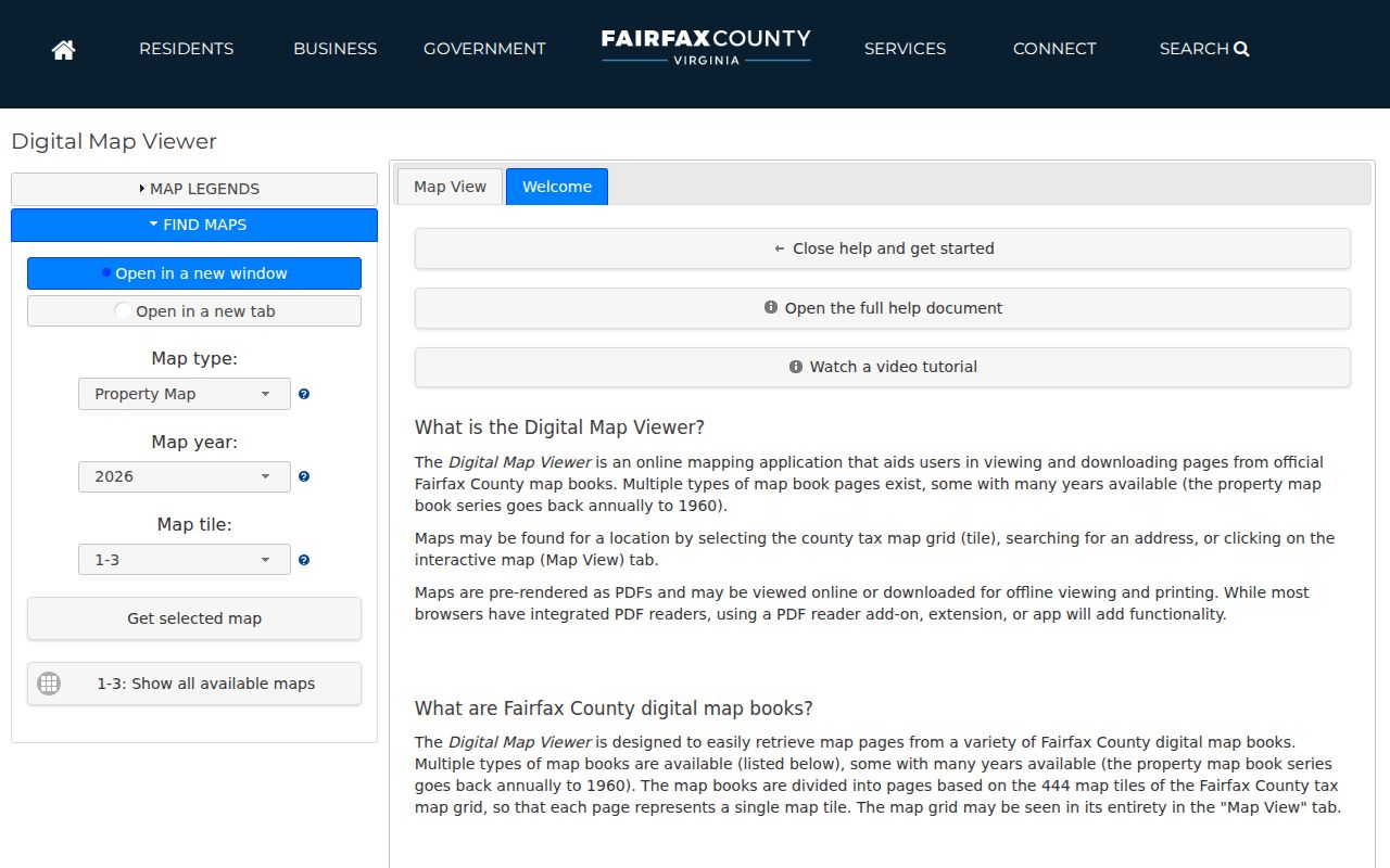
Follow a map result into iCare for the assessment card and into Land Records for a recorded instrument. A map report is an assessment and geography aid, not a substitute for a deed or plat.
Oakton Postal Boundaries and Locality
A ZIP is a postal routing area. Oakton is a Census-designated place and unincorporated Fairfax County community. The two boundaries can overlap without matching. The official City of Fairfax demographic-information material identifies 22124 and 22033 as Oakton postal areas, but the research did not locate an official street-level boundary for the 22033 Oakton edge. An exact address must be checked through USPS and MAR before it is described as part of either area.
Mismatch check. A returned Fairfax 22033 or nearby Vienna postal line does not by itself rule an address in or out of Oakton. Preserve the locality fields from USPS, MAR, iCare, and Jade, then state the source rather than forcing a single label.
- ZIP
- A postal routing area for mail delivery. It is not a city, district, or parcel boundary.
- ZIP+4
- An added delivery segment used to refine routing within a base ZIP. It does not replace the base postal area.
- PO-box ZIP
- A ZIP assigned for post-office boxes rather than a geographic residential delivery area. None was verified for Oakton.
- Unique ZIP
- A ZIP assigned to a single institution or large recipient. No Oakton example was verified in the inspected sources.
- Carrier route
- A delivery sequence used within a postal area. It is not a community boundary or a resident roll.
Oakton Address Changes and Timing
Fairfax Bonds and Addressing Center assigns county addresses and maintains MAR. Address-change applications are submitted in PLUS through location and people, application, and detail steps. Fairfax says that an approved new address reaches MAR, PLUS, and iCare on the next business day, while other systems may take up to a week. A recent mismatch can therefore be a timing issue rather than an error.
Street-name changes require a petition signed by at least 51 percent of lot owners, a plat, a PLUS Street record, and Board of Supervisors approval. The research did not verify an Oakton-specific renumbering or renaming date. Use MAR’s historical status, effective dates, and the recorded legal description rather than assigning an unsupported year to a street change.
Oakton PINs Are Not Postal Addresses
A Fairfax PIN, such as the grouped format used on county parcel records, identifies a tax parcel. It is not a street address and should not be entered as though it were a USPS delivery location. A PIN and legal description can remain steady while a street number, unit label, or postal city changes. Lot, block, section, phase, and the deed legal description provide the bridge between those versions.
That distinction keeps an address search reproducible. Record both the exact address returned by MAR and the parcel identifier returned by MAR, iCare, or Jade. Then use the right key for the next system: the address for USPS or PLUS, and the PIN or legal description for a parcel, map, or land-record question.
Oakton Community Context by Address
Fairfax My Neighborhood accepts an address and can return a voting precinct and public place, nearby schools, libraries, police and fire services, post offices, hospitals, parks, elected officials, and nearby crime information. These are address-specific civic context fields. They do not turn a postal selection into a list of occupants or association members.
The county association list is voluntary and contact-oriented. It can help identify a community group near an Oakton address, but it does not prove membership, standing, or who occupies a parcel. Keep the community name separate from postal routing and confirm the actual address through the county sources.
Limits of ZIP Searches in Oakton
A ZIP filter can organize address data and postal geography, but it cannot establish a complete current household list. iCare assessment cards may display an owner and a mailing address, while MAR describes a county address and the map shows parcel geography. Those records need their own dates and limitations. A mailing contact is not proof that a person is at the property, and an owner display is not a complete list of people connected with it.
Use the smallest reliable record layer for the question. For exact delivery routing, use USPS. For county address status, use MAR. For assessment data, use iCare. For a recorded legal interest, use Fairfax Circuit Land Records. Keep protected or substitute addresses out of any attempt to reconstruct a location from linked records.